
Google maps showed a quieter road [82] out from Mendoza that ended just short of the main Ruta 7 ~40 kilometres later at Las Heras, I expected the old road to had been blocked from the newer main road to minimise through-traffic which seemed even better. (see the break in the '82'?)


It's amazing how deceptive, looking at a map can be and for one to think "I'll just walk that section", the mountain in the way was too small to show on a map yet big enough to block my path. Again, the language barrier prevented me getting advice from other people around the area as to whether there was actually a locals hiking route, nevertheless I had to back-track 20 kilometres to the last main town to cross the river, and join Ruta 7 there, a 40 kilometre wasted round trip. Here are the local cyclists who escorted me to my turning.


Fortunately each new day here the scenery went up a notch. On this day it became amazing! Mountains that were no longer shown on maps, these were epic! The stepped ridge in the second one is quite high, let alone the mountains themselves!


Even if the road dropped, the mountains would still climb!

Some sort of shrine to another cyclist?? I was tempted to pinch the rear wheel as a spare!!


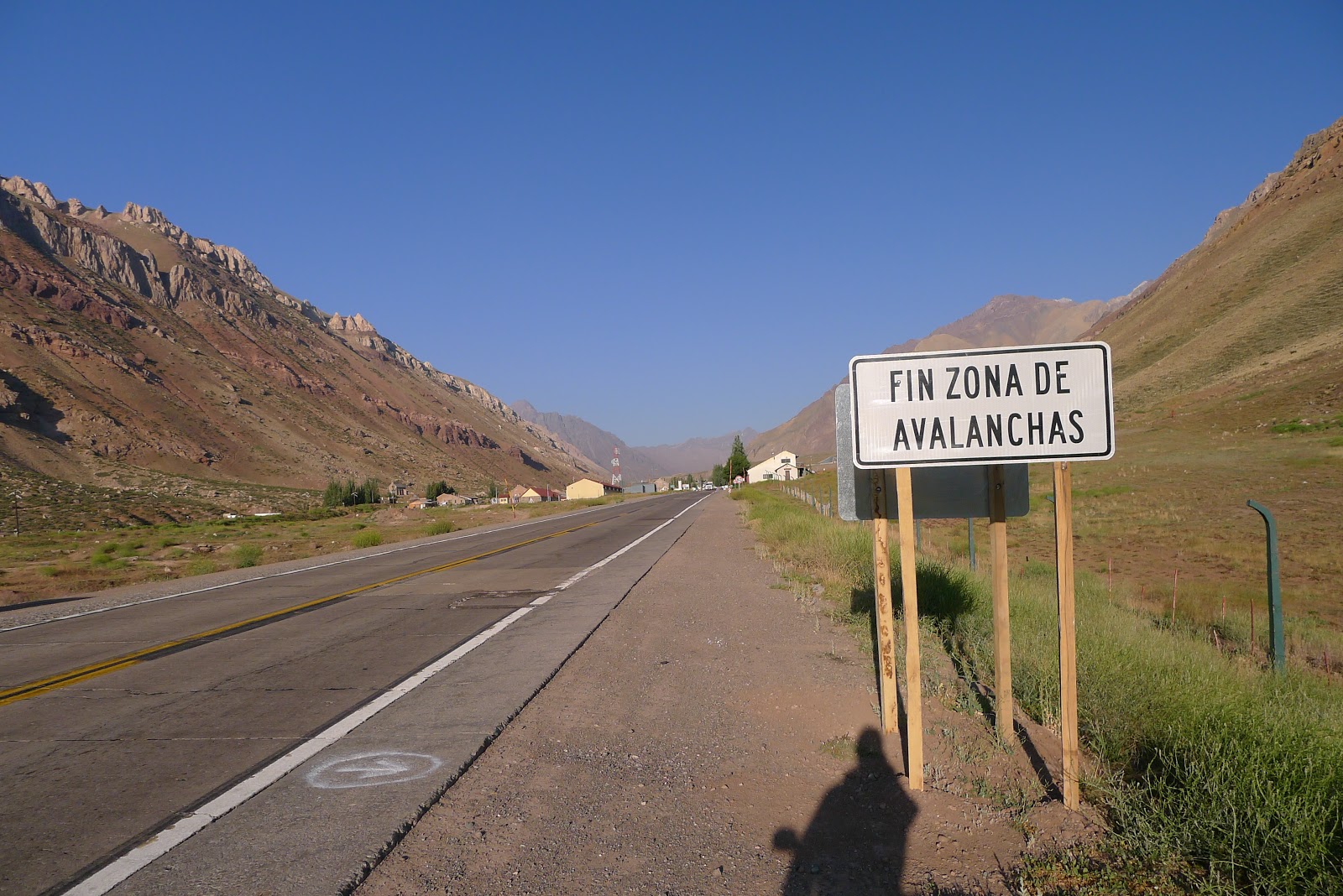
As the wind changed direction and strength at the drop-of-a-coin during my 'brief' lunch stop turned into an over-night camp. This time of year sees hikers whom have come to climb the impressive 4300 metre Mount Penitentes, as a result one of the hostels was open and I was permitted to camp just outside it. Later, becoming a bit too busy, and with grass patch being in the wind's direction I manage to find a better spot out of view and wind.

Phew, safe again!!
At an altitude of 3000 metres, in such a stark open space, a church!

From where I've been...


The awaiting tunnel through to Chile! Up to here I'd seen no customs office for an exit stamp and thus assumed it to be on the other side of the tunnel.
 My ride awaits me.
 Dropped of at the other side as I start a brief descent I notice the Bienvenido a la Republic de Chile sign, slight concern as I'd not seen any signs for the Argentine customs for an exit stamp, and could possibly be refused Chilean entry until I had one.
The descent continues for a few kilometres parallelling an avalanche tunnel that the vehicles take. Soon I'm at the Chile customs building and a French couple travelling on a coach also ask about the Argentine exit stamp...at least if it came to it I could share a lift back with them!
 Inside the building with no care in the world the customs officer doesn't even look for the exit stamp, and is only to glad to put my new entry stamp on a page that suits me, not simply in the middle of a clean page - travelling through so many countries does use passport pages quite quickly so maximising space on each page is essential.
Now for icing-on-the-cake, the Piece-de-Ressitance! Again, when researching and planning this trip, many-a people had mentioned the road (from Chile) up to this point, a master piece of engineering that's rated as one of the best mountain-pass roads in the world. Google maps give you an idea why. The descent from the upper part in the image was quite good, but the second section is what its all about!
 A life-size Scalextric track, and I was going DOWN!!
 My original plans was to ride it in the same direction as did Jules and Nicky. The disadvantage that way being that after slogging away up this section for what must take the best part of a day to reach the tunnel then into Argentina gives no real major descent toward Mendoza, just a very gradual drop over three days of riding (or at least that's how long it took me to ride up it from Mendoza), maybe there'd be a few brief fast sections but nothing relative to what was awaiting me...
Having stopped at the top view-point I could see a fair amount of traffic - cars sitting behind slow moving trucks going up and down - therefore expected a slow descent myself but luckily when I started free-wheeling down, the traffic had cleared so the road was mine! Brakes on slightly at each hairpin switchback, I was lovinn' it!! At the bottom I regretted I hand't video'd it but there was no way I was riding back up those hairpins! What a descent!!


The descent continues for a few kilometres parallelling an avalanche tunnel that the vehicles take. Soon I'm at the Chile customs building and a French couple travelling on a coach also ask about the Argentine exit stamp...at least if it came to it I could share a lift back with them!

Now for icing-on-the-cake, the Piece-de-Ressitance! Again, when researching and planning this trip, many-a people had mentioned the road (from Chile) up to this point, a master piece of engineering that's rated as one of the best mountain-pass roads in the world. Google maps give you an idea why. The descent from the upper part in the image was quite good, but the second section is what its all about!


Having stopped at the top view-point I could see a fair amount of traffic - cars sitting behind slow moving trucks going up and down - therefore expected a slow descent myself but luckily when I started free-wheeling down, the traffic had cleared so the road was mine! Brakes on slightly at each hairpin switchback, I was lovinn' it!! At the bottom I regretted I hand't video'd it but there was no way I was riding back up those hairpins! What a descent!!
- - -
Next up, zipping along Chile's Ruta 5,
a.k.a. the Pan-American Highway!
a.k.a. the Pan-American Highway!